Access to this data used to be very expensive, now it's all open! I've made a selection of some layers and chosen special places to the Rainbowboys. Can you guess where they are? (file names will reveal location, so be careful when hovering over the images).
A: AHN2, raw data with legend

B: AHN2, Blue to Red, water=green

C: AHN3, Raw data

D: AHN2, Shaded Relief, water = aerial photo

E: AHN2: Raw data 50% transparency, Hillshade
F: AHN2: Raw data, shaded relief

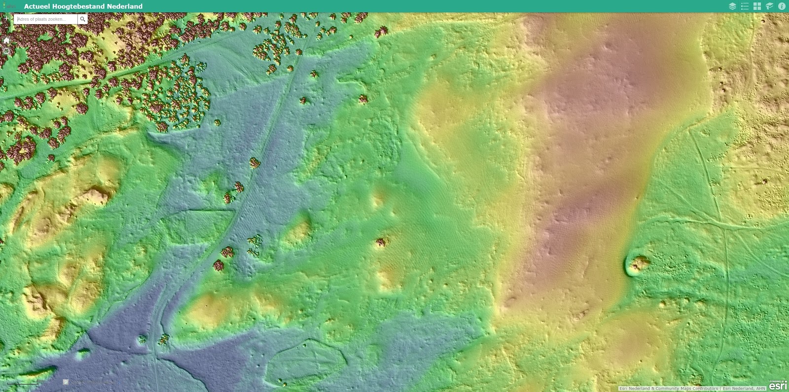
G: AHN2: Shaded relief, red to blue

Here you can play with the data viewer yourself. Would love it if you added some special places to the list!
7 comments:
AHN is great!
D is our trip spot on Schiermonnikoog.
Added two places to the list.
The dynamic maps give most information, although a bit slow.
F: Loonse Duinen? Why is the second one such a huge area?
E is within G :)
Looking at it again, it must be super hard for most areas if you don't know what you are looking at before you turn the AHN on :)
F is Soestduinen.
> Why is the second one such a huge area?
Because it shows some larger features that you never notice when you are on the ground. I simply like it.
Have we ever been to Soestduinen? I don't recall.
Yeah de Heuvelrug looks much more interesting in relief.
No, we have never been to Soestduinen. We should though. It is only 20 min by train. I did some walks in that area this year.
Post a Comment